
Officially, there are 11 Underground lines right now. Yes, eleven. They range from the deep, dark, character-filled Bakerloo to the brand-spanking-new Elizabeth line, which is technically a “railway” but behaves like a Tube line so we’ll let it slide. That’s the number the Transport for London folks will give you, with a straight face, as if it’s that simple.
Here’s the kicker: that number is a lie of omission. It ignores the Docklands Light Railway (DLR), the London Overground, the Tramlink, and the cable car over the Thames. If you count those, you’re looking at over 15 different services all pretending to be the Tube. It’s like saying your family has “just four siblings” while ignoring the weird cousin who lives in the basement.
Why Isn’t This Easy?
Think of the Tube map as a masterpiece of graphic design that has zero relation to geography. Harry Beck’s 1931 diagram made the lines all 45-degree angles and equidistant stations, which is brilliant for navigation but terrible for answering our simple question. If you try to count the lines by color on the modern map, you’ll end up with about nine colors, but then you realize the District line is green, and the Circle line is yellow, and the Hammersmith & City is pink, and the Metropolitan is a weird dark magenta—they’re all different lines sharing tracks like rowdy teenagers fighting over the bathroom.
And don’t get me started on the Waterloo & City line. It’s only two stops long, runs between Waterloo and Bank, and feels like a grumpy hermit who doesn’t want to be part of the party. It’s technically the shortest line in the system, but it’s still a line. That’s like counting a single French fry as a full meal.
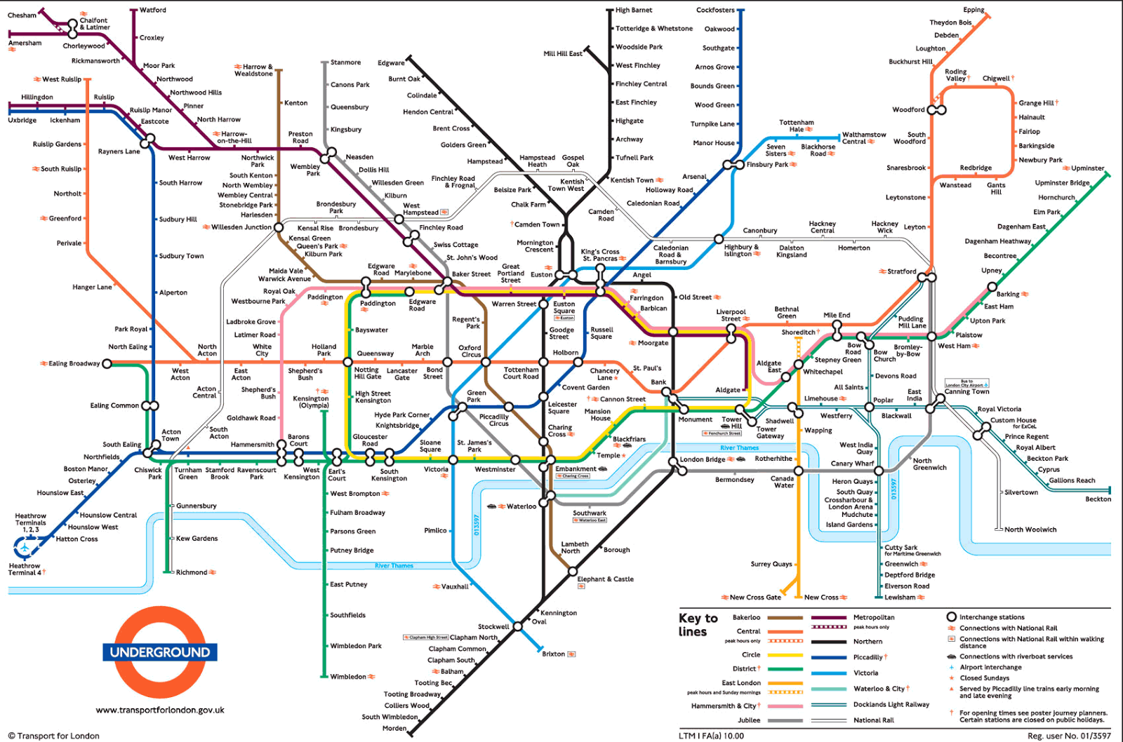 Map of London Tube

