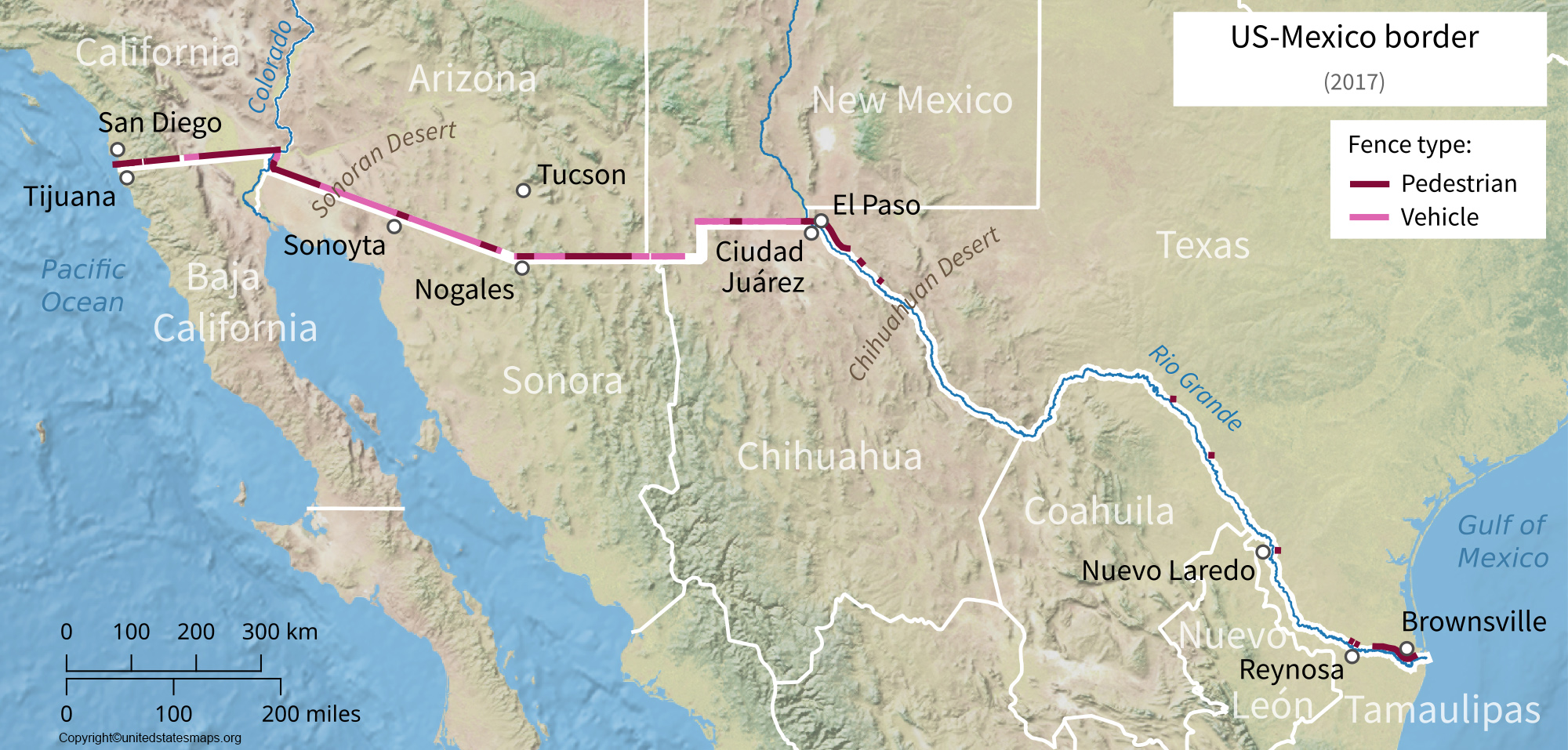
The U.S.-Mexico border stretches for about 1,954 miles or 3,145 kilometers. That’s roughly the distance from New York City to Las Vegas, but with way more taco stands and desert sunsets. To put it in car terms: if you drove the entire border at 60 mph, you’d need about 32 hours—so bring snacks, a good playlist, and maybe a co-pilot who doesn’t snore.
But here’s the kicker: that number isn’t set in stone. The border is a living, breathing line on a map, shifting a little with treaties, river meanders, and good old-fashioned diplomacy. When the Rio Grande acts up (as rivers do), the boundary can wiggle a few feet—like a teenager adjusting their jeans every five minutes.
What Makes Up Those 1,954 Miles?
Let’s break it down, because “border” isn’t just one thing—it’s a mood. About 1,254 miles follow the Rio Grande, which is basically the border’s backbone. The other 700 or so miles are land borders marked by fences, walls, and sometimes just a dusty line in the sand. You’ve got fancy city crossings like San Diego-Tijuana (busy enough to have its own zip code) and wild, empty stretches in Arizona where you might see a coyote before a car.
Oh, and there are 48 official ports of entry—places where you can legally cross. But between those ports? That’s where the border gets its reputation. It’s a mix of barbed wire, solar-powered cameras, and the occasional abandoned shoe. Pro tip: do not try to walk across the border just because you forgot your wallet. Spoiler alert: it won’t end well.